Majestic and free, the Minnesota River Valley offers some rich experiences for us all
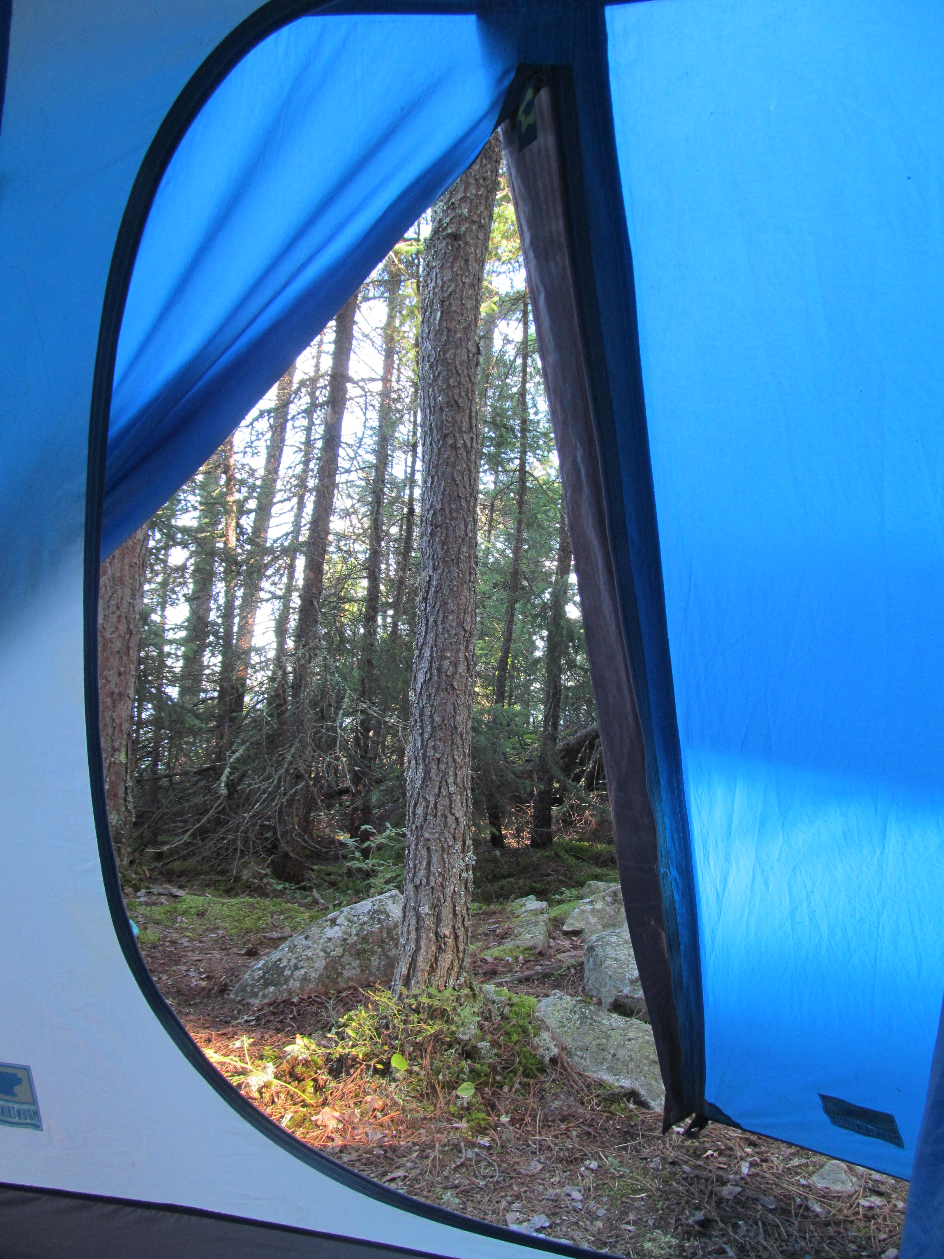
It’s the second weekend in March, and the sun is melting the snow on the banks of the Minnesota River as it meanders through the Minnesota River Valley, between highway 18 and Cedar Avenue in Bloomington. My friend and I decided to take an early hike into the Black Dog Nature Preserve Scientific & Natural Area which is now part of the Minnesota Valley National Wildlife Area.
This is the North side of the river heading east from Hwy 169 towards Colman Lake which lies below Overlook Drive in Bloomington. We left we are car parked in the small lot at the end of Bloomington Ferry Road. This is the site of the old Bloomington Ferry Bridge (http://www.johnweeks.com/bridges/pages/b10m.html), which was swing bridge that tended to completely flood over every three years or so, it was finally closed for the last time in the late nineties and a new steel bridge was built in its place in 1998 underneath Highway 169. No longer intended as a vehicular bridge, the new one is meant to carry foot traffic and bicycles over the Minnesota River to the bike path on the South Side of the river as it leads in the direction Fort Snelling.
We enter the dirt trail on the north side of the river through the woods, leading us on a winding pathway around vast bogs and flood plains leading all the way to Nine Mile Lake below Dwan Golf Club in East Bloomington. It is still early, an uncommonly warm March weekend and the trees branches are still bare. As we pass under some of the enormous trees lining the river bank we can see nests the size of a king mattress near the top, then we hear the shrill sound of a call from an American Bald Eagle, glancing around we see them perched atop trees on the opposite bank and then catch one on the wing as it soars regally, proudly high above the slow moving muddy water. It’s a breathtaking scene and a common one here.
In a mile or so we come to Colman Lake, up until now it’s been pretty quiet, only the sounds of an afternoon breeze washing past our ears, The trail turns sandy and the ground just to our left turns moist. There out on the lake is a bustling community of water fowl, there are ducks, geese and even Herons all singing and moving about. As we approach a pair of geese begins their ascent from the surface of the lake, the tips of their wings tapping the water just as they climb, honking all the way, off into the distance as they clear the canopy.
The sounds of traffic and the city are gone, periodically there is another hiker, a birder or bicyclist now and again, and all are keen to smile and greet you. This is a gem to be cherished, its wild, fruitful and beautiful. Along the way we pause and take a seat on an old fallen tree along the shoreline, it is steep here and can drop thirty to fifty feet to the surface of the river. It is quiet too; there are still large, flat portions of ice flowing gently by. We relax and close our eyes and feel the warming rays of the sun as it caresses our cheeks before moving on.
Along the way are many tributaries that carry water into the marshes and backwaters and lakes that are home to so much rich and diverse wildlife in the preserve. In the spring these tributaries can and often do flood. Felled trees are almost always the only way across when the water is high in these areas, once in a while you can find small floating carts fashioned from wood and large branches that are fastened to ropes on each side of the tributary. You can lay down your bike and pull yourself across or walk farther inland to find a smaller path on higher ground to evade the watery impasse. As we travel on, nearing Nine Mile Lake we decide to make our way nearer the Bloomington bluffs, if you decide to walk the trail along the banks of the Minnesota River here you will find yourself caught between the marshes and the river in the Black Dog Reservation in East Bloomington. The old historic Cedar Bridge here has been closed and is slated for replacement over the next couple of years leading to the Bluff Trail at the end of Old Cedar Avenue (http://www.johnweeks.com/bridges/pages/b10m.html).
We find our way skirting one of the less flooded waterways leading from the river towards Mounds Spring Park. This area is often flooded through and evidence of this can be seen six feet off the ground with natural debris caught in the bark of younger trees. There is no green underbrush just yet, still too early in the season and everything is a darker shade of gray and mud. The only life aside from us happens to be a small heard of deer, at first we cannot see them, they are quiet easily camouflaged still in their gray winter coats, but we hear them bark, letting others know we are near. When we do spot them we decide to give them a wide birth and let them peacefully hang out among all the driftwood carried back here from the river during periods of higher water levels.
It’s at this time we choose to begin our trip back to the car, the sun is in its decent and the day is getting coming to a close. As the sun turns to a darker orange hue we stop to measure the girth of a few trees, wrapping our arms around the trunk and finger tip to finger tip; it takes at least three of us to get all the way round. It’s been a good hike, beautiful scenery, lots of wild life, memories and excitement as we begin planning our next trip to another section of the river near the Crosby Farm area. This is what Saturday and Sunday mornings are made for it seems. Take a lunch and spend a couple hours wandering through this wonderful gem most of us drive over and never see on our way to Savage and Burnsville. I promise you won’t regret it, and you just might find your way back here during each season to see the drastic changes that take place. Just make sure you plan accordingly, there are 70 miles of this wildlife management refuge established in 1976, stretching from Bloomington to Henderson, consisting of 14,000 acres (http://www.fws.gov/refuge/Minnesota_Valley/about.html).
- As a precautionary note, the Black Dog Trail is still closed at the end of Old Cedar Avenue in order for the Fish and Wildlife Services to complete their rehabilitation on the bridge and this portion of the park. Also
